GIS portfolio
Qualifications
Undergraduate at University of Toronto (2022–2026)
HBSc Minor in Geographic Information Systems, graduated with high distinction.
Relevant courses:
GIS Research: GGR462H1. Topic: agricultural remote sensing on palm oil plantations.
Remote Sensing: GGR415H1 (advanced methods), GGR315H1 (environmental).
GIS & Mapping: GGR373H1 (advanced methods)
HBSc Specialist in Computer Science with focus on Computer Systems.
Research interests: agricultural remote sensing, geographic data science, digital map visualization, data structures & algorithms for geographic data.
Projects
These are the GIS-related projects that I've worked on. It's a mix of university projects, personal projects, and open-source contributions.
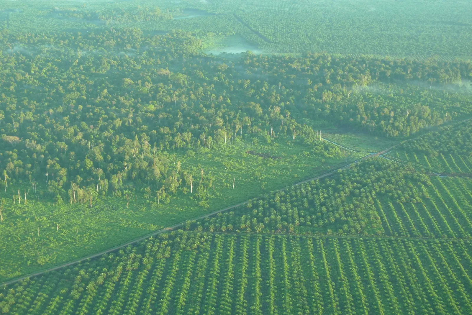
Palm Oil carbon trapping: Is it better than the forest itself?
My attempt to approximate carbon sequestration using remote sensing methods.
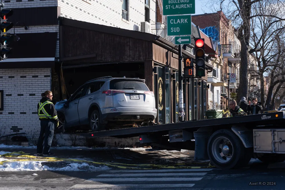
Cluster Analysis on road collisions in Montréal
Spatial analysis using k-means multivariate clustering as well as trying out several regression tests.
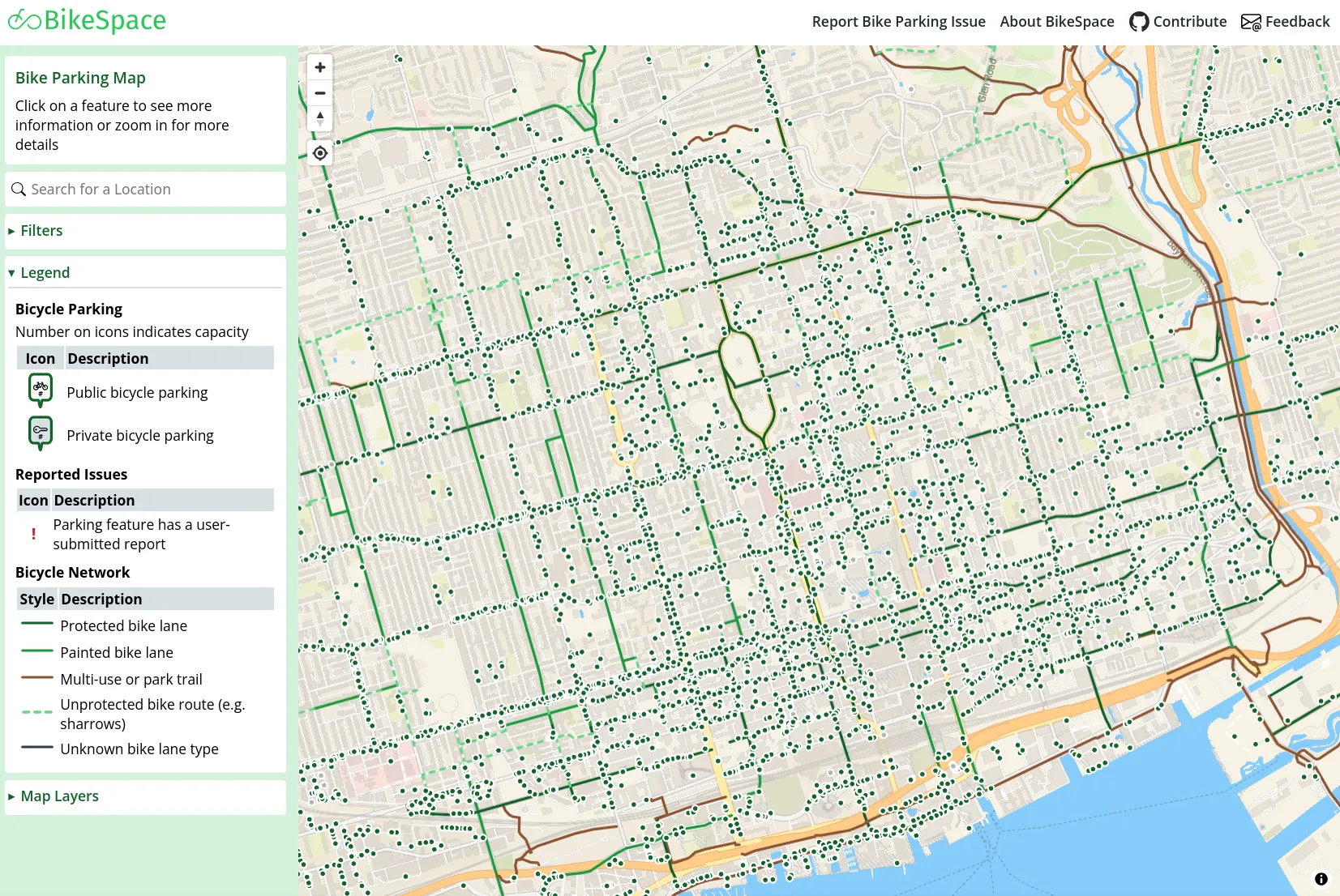
BikeSpace
Free information about bike parking in Toronto. Contributed a user-interface for reporting parking bollards via map (#390).
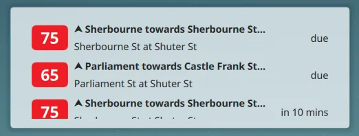
TransitPeek
Live desktop widget to track nearby bus times. Uses GTFS-realtime API published by transit agencies.